 Bali
Bali Bali
Bali 4.2
Match 99/100
$7,000-9,500/wk bareboat
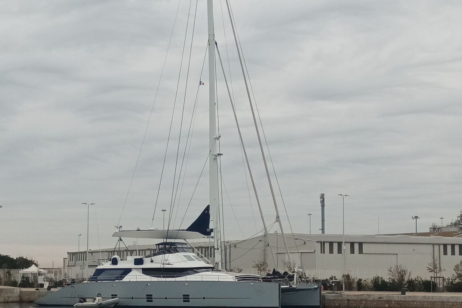
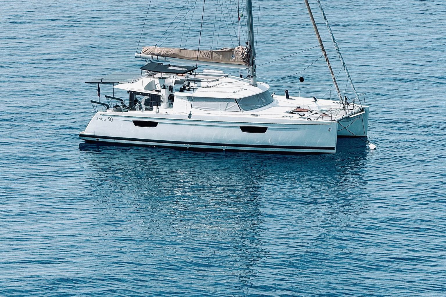
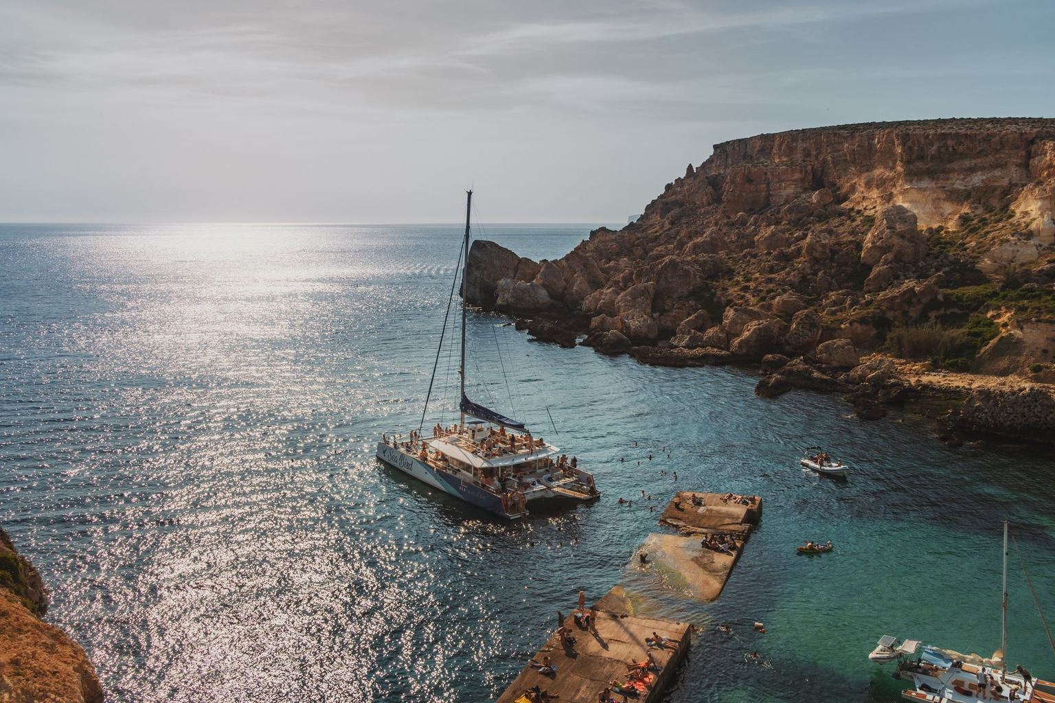
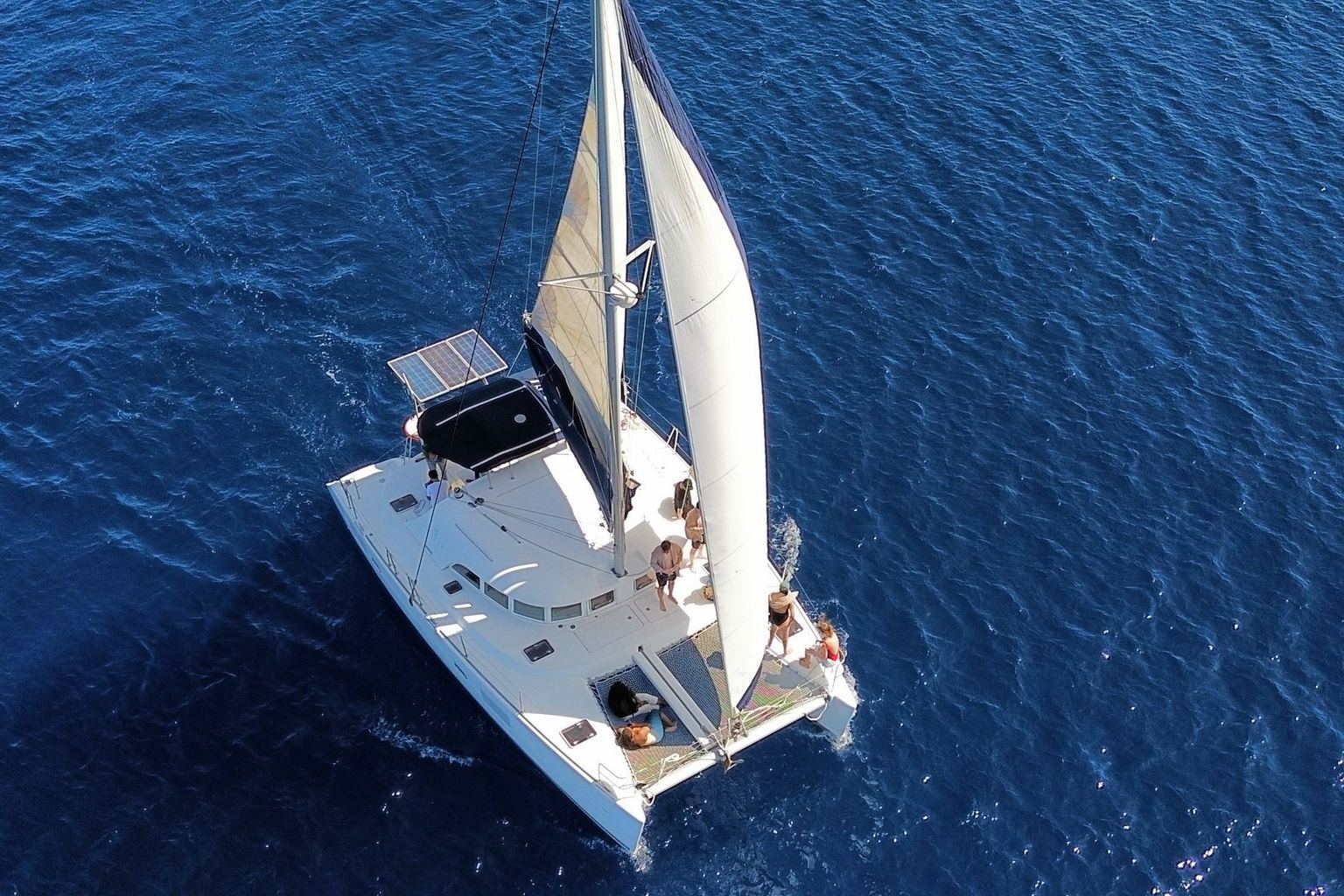
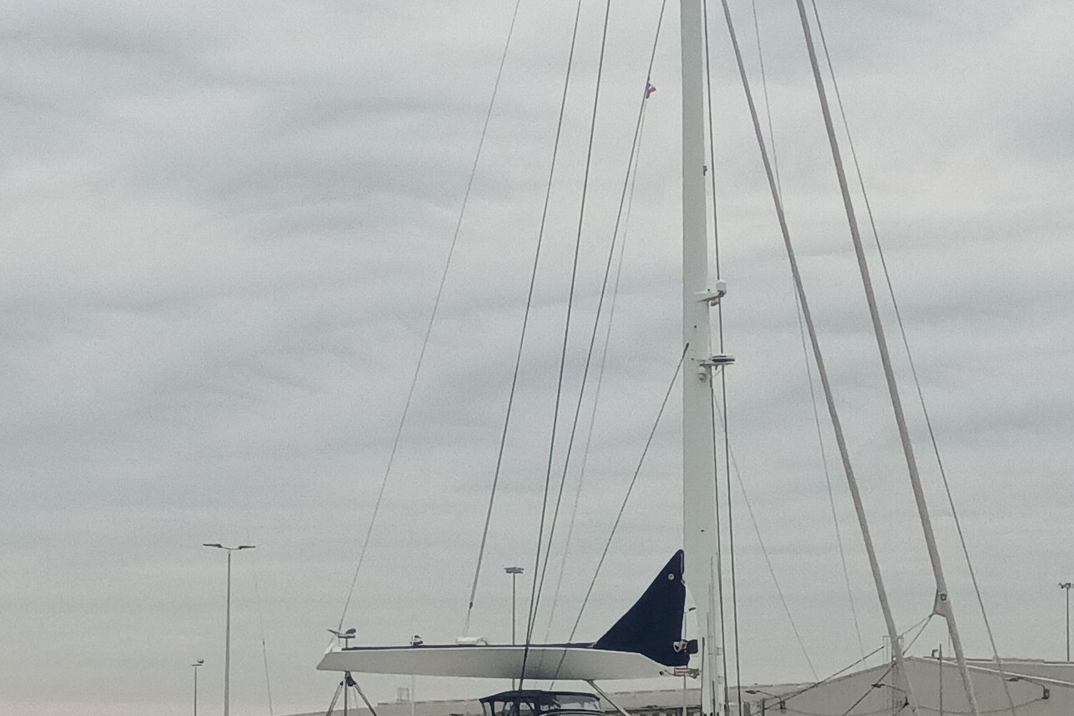
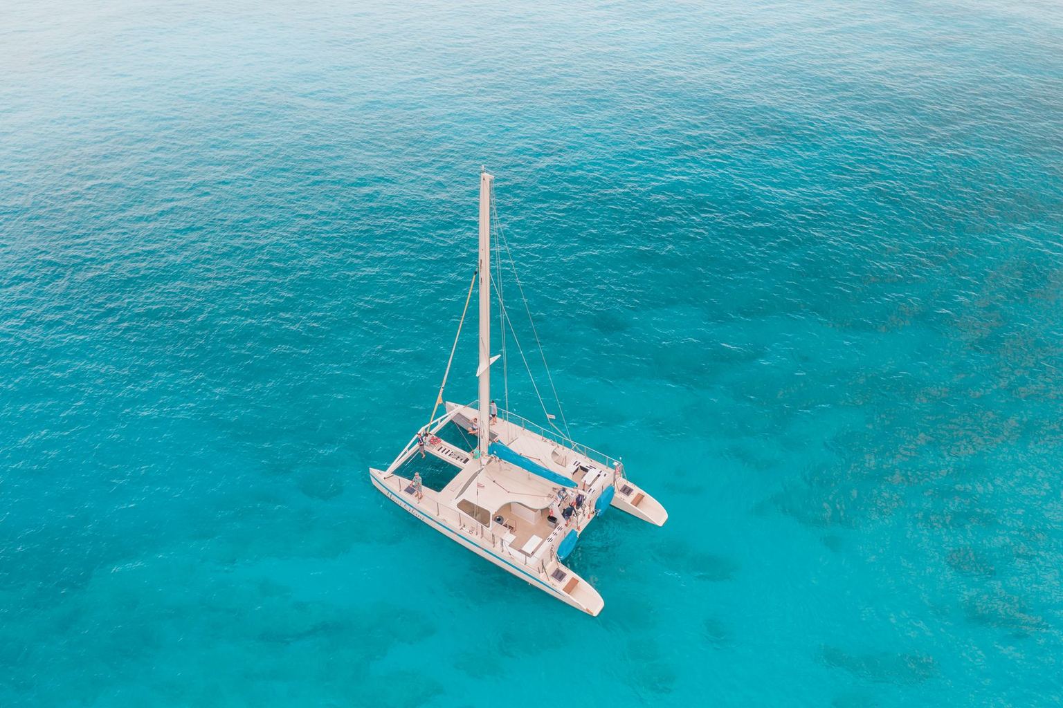
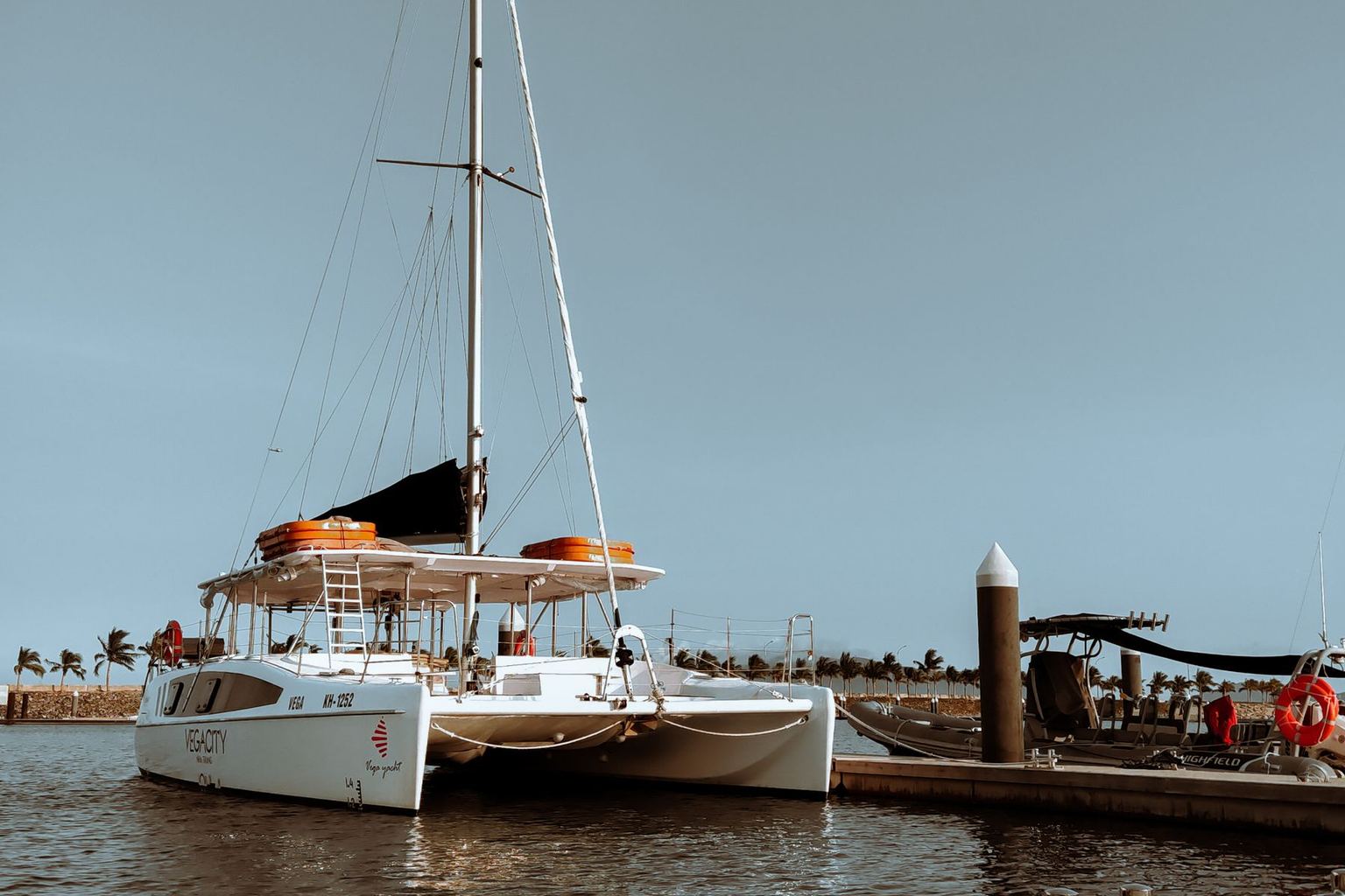
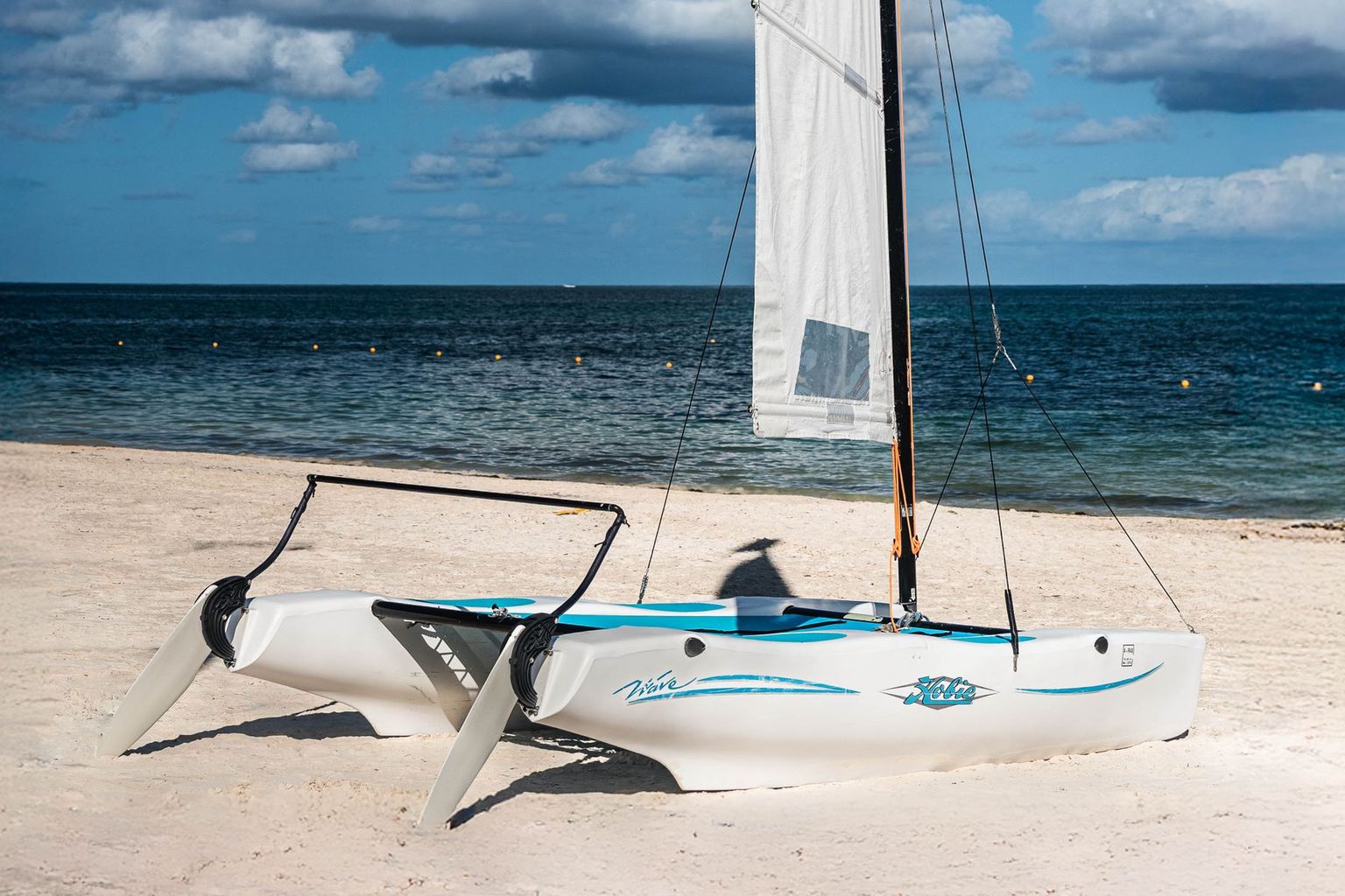
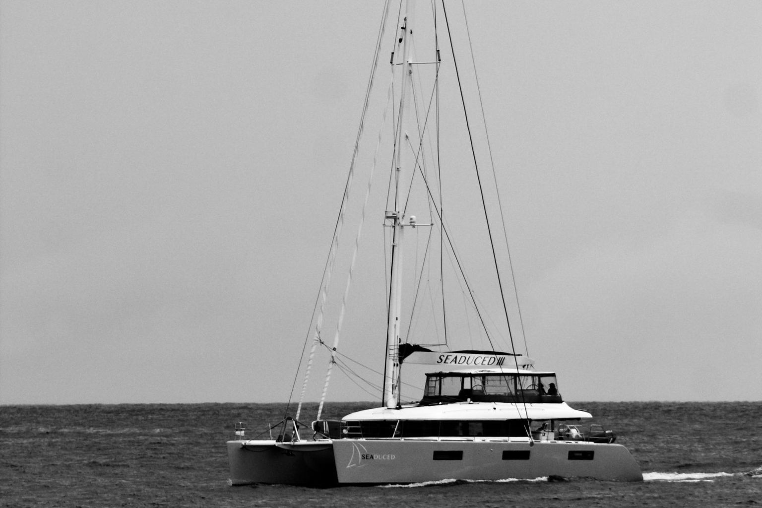
42 ft, 4 cabins — tagged first-time-charter friendly, so the boat is forgiving on short day hops — with a layout that works for kids and mixed ages
Itinerary planner
Build a day-by-day catamaran route from our verified destination data and real captain's notes — with no invented distances and no invented anchorages.
Question: What's a good 7-day sailing route in Caribbean?
ID: route-helper
Distances are approximate planning figures. Day-by-day captain-verified legs and exact mooring directions live in our Captain's Notes — confirm with your skipper before departure.
7 days · Caribbean / British Virgin Islands · standard pace · from Road Town Marina, Tortola
6 of 6 curated stops for British Virgin Islands are scheduled across 7 days — every stop fits. Spot order favours the types you picked, and any leftover days become rest days carrying a real captain's sentence rather than filler text.
| Day | From → To | Highlight | Anchor type | Leg distance |
|---|---|---|---|---|
| Day 1 | Road Town Marina, Tortola → Jost Van Dyke - White Bay | Iconic beach bars (Soggy Dollar Bar) | beach | Leg distance to be confirmed in the captain's notes |
| Day 2 | Jost Van Dyke - White Bay → Norman Island - The Caves | Three underwater caves at Manchioneel Bay | snorkel | Leg distance to be confirmed in the captain's notes |
| Day 3 | Norman Island - The Caves → Cooper Island Beach Club | Rum bar with 200+ labels; great snorkeling | beach | Leg distance to be confirmed in the captain's notes |
| Day 4 | Cooper Island Beach Club → The Baths, Virgin Gorda | Giant granite boulders forming sea caves; snorkel Devil's Bay | natural formation | Leg distance to be confirmed in the captain's notes |
| Day 5 | The Baths, Virgin Gorda → Anegada | Flat coral island; lobster dinners; flamingo watching | island | Leg distance to be confirmed in the captain's notes |
| Day 6 | Anegada → Peter Island | Deadman's Bay beach; snorkeling | resort | Leg distance to be confirmed in the captain's notes |
| Day 7 | Peter Island → At anchor off Peter Island | Mid-March to early April is the BVI's busiest window. — Captain D. (BVI-based operator) | — | 0 nm — no passage planned |
Marina-to-marina planning distances
Great-circle distance between base marinas only. Your actual track will be longer — treat these as a sanity check on a day's range, not a passage plan.
Catamarans suited to this route
Bali Bali
$7,000-9,500/wk bareboat
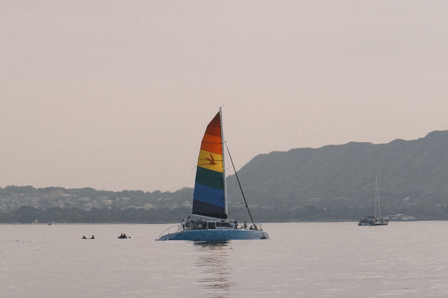
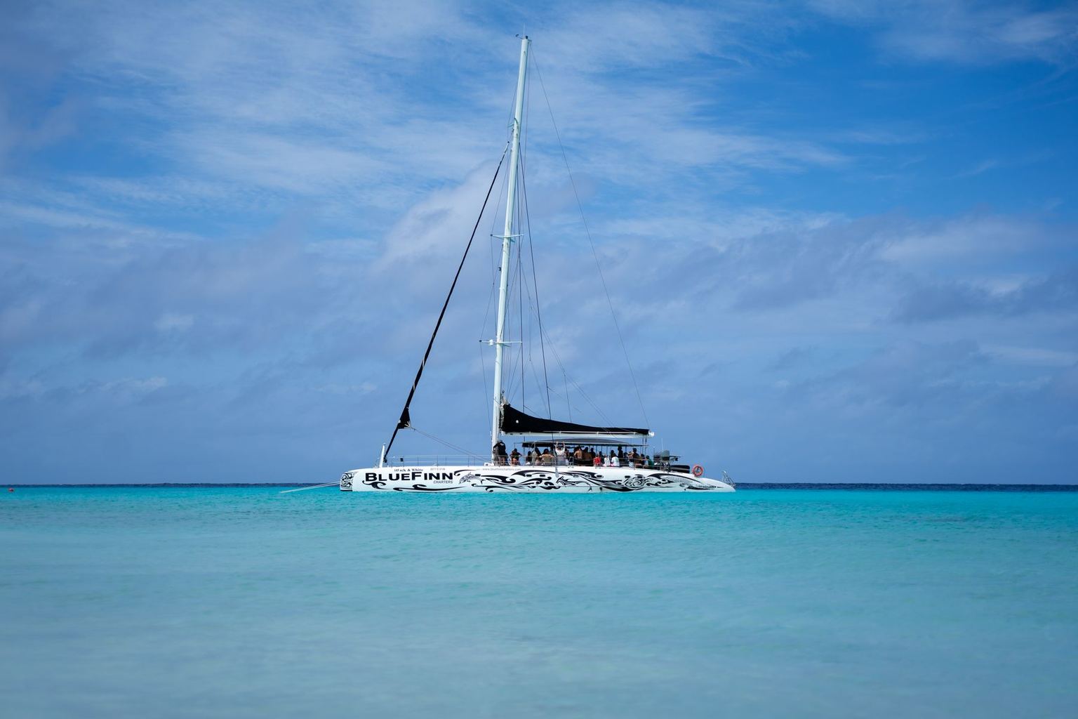
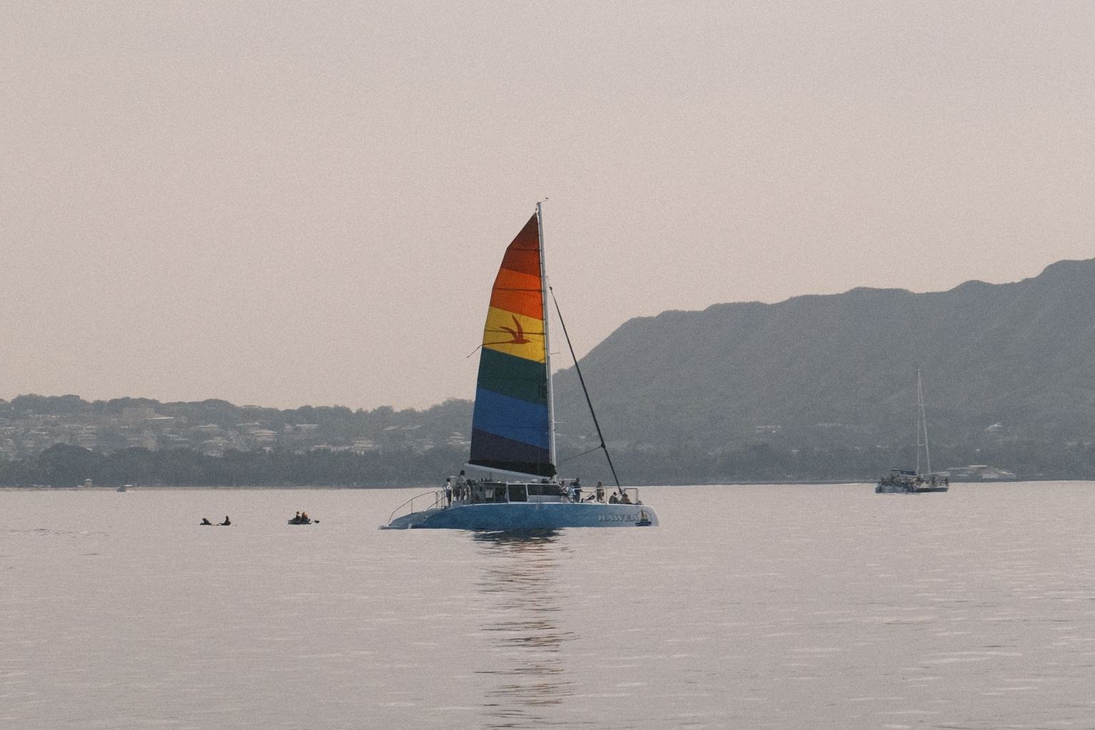
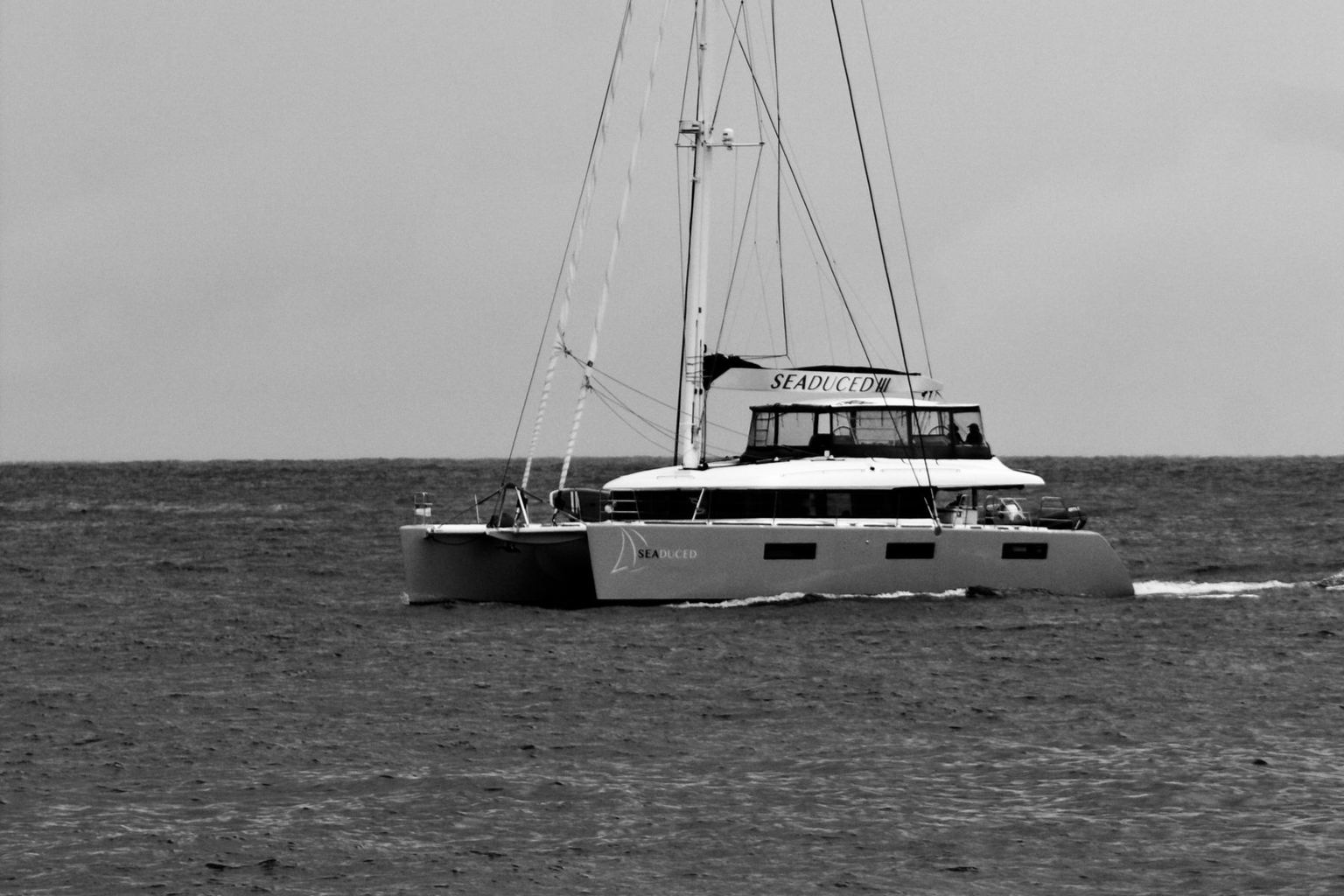
42 ft, 4 cabins — tagged first-time-charter friendly, so the boat is forgiving on short day hops — with a layout that works for kids and mixed ages
 Bali
Bali Bali
$12,500-18,000/wk bareboat
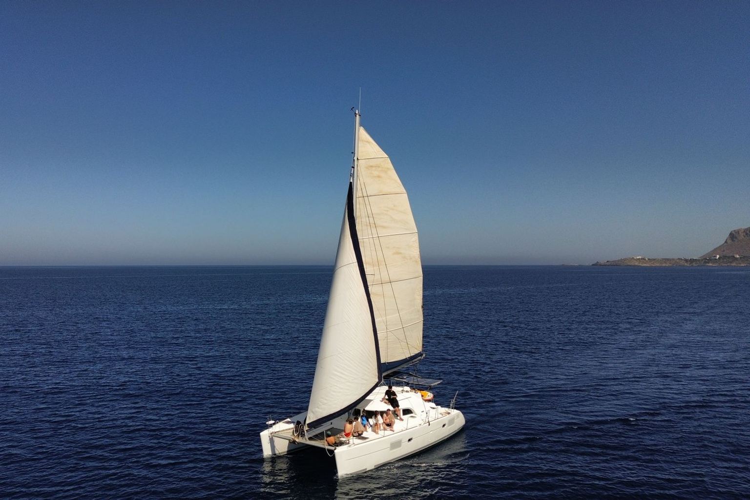
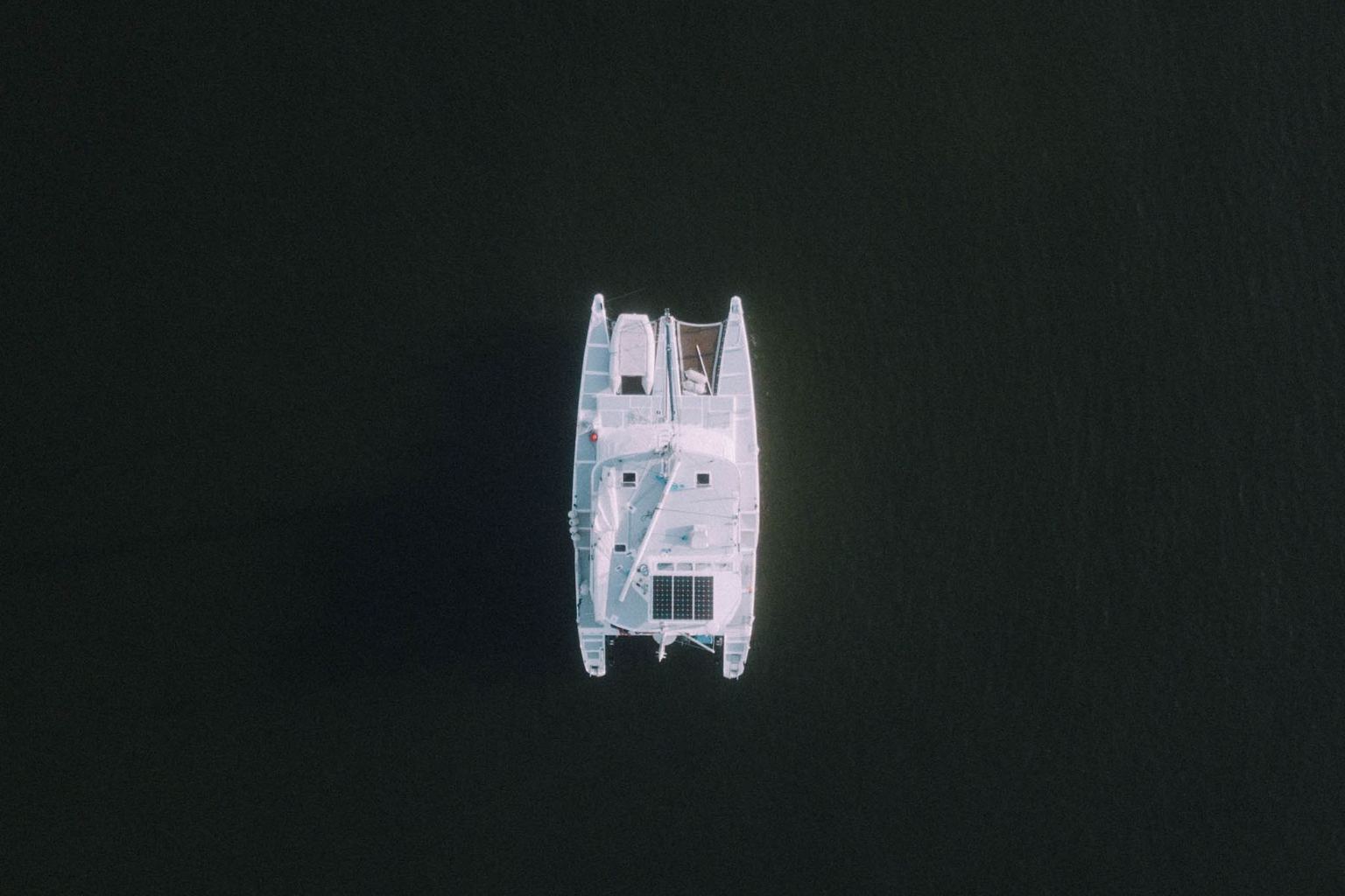
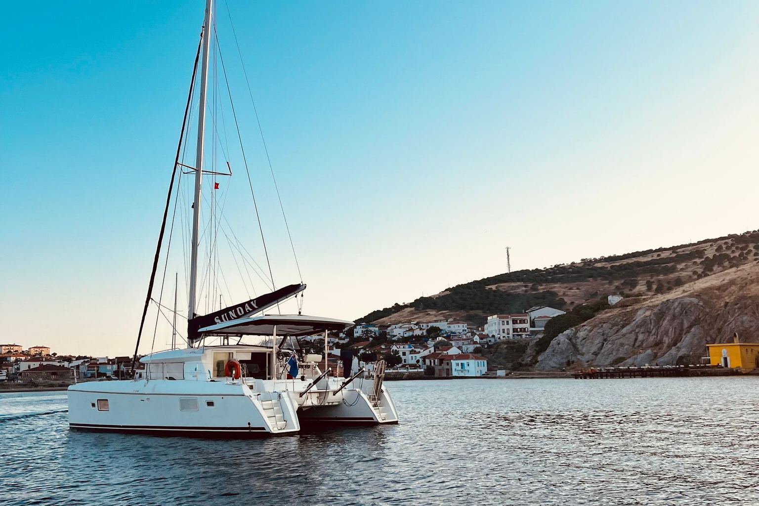
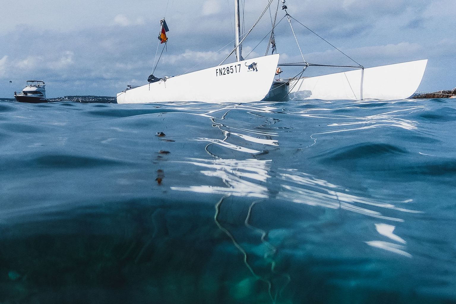
44 ft, 4 cabins — tagged first-time-charter friendly, so the boat is forgiving on short day hops — with a layout that works for kids and mixed ages
 Fountaine Pajot
 Fountaine Pajot
$7,000-9,500/wk bareboat
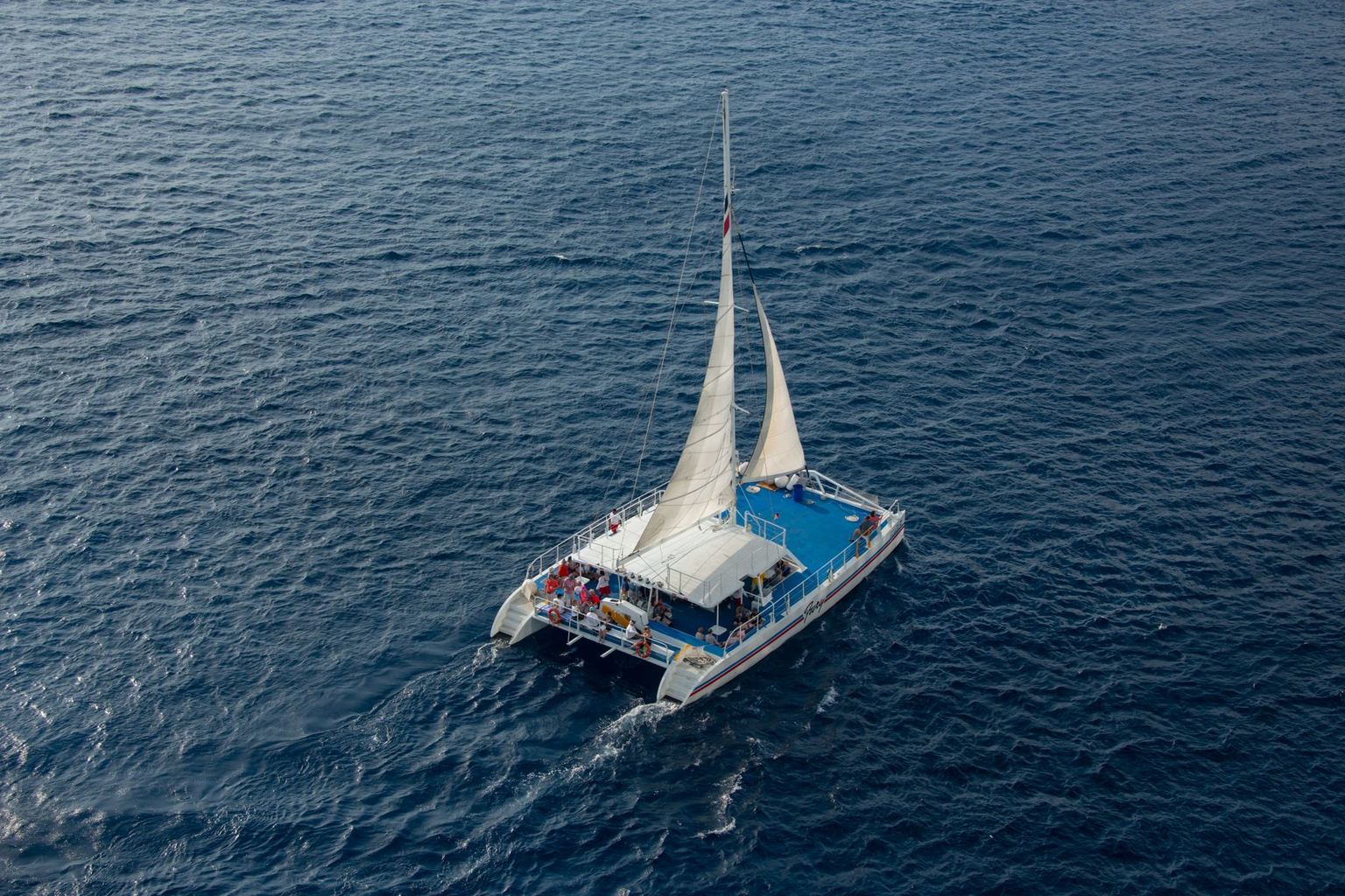
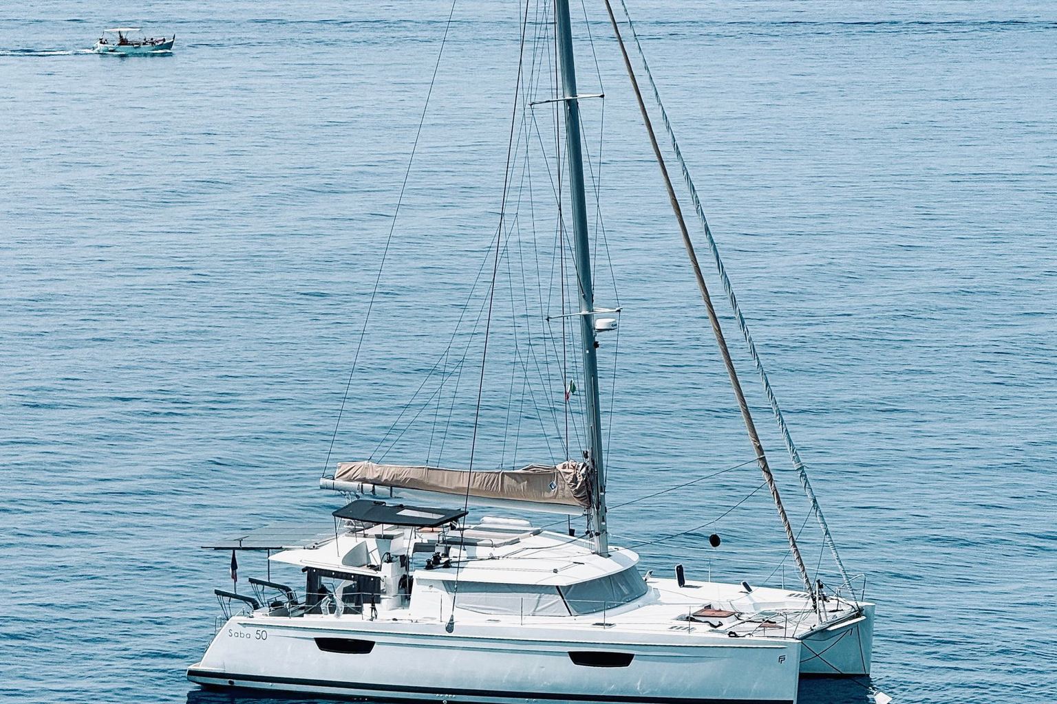
40 ft, 4 cabins — tagged first-time-charter friendly, so the boat is forgiving on short day hops
Share this itinerary
Every share link saves your exact inputs.
This tool does one narrow job extremely literally. It takes the curated must-visit spots we hold for your country, orders them by what you said you care about, and spreads them across the number of days you asked for. It does not invent places, and it does not invent distances. Everything in the table above comes from two files: our destination records, which carry the must-visit spots and the base marinas with their published coordinates, and our captain's notes, which carry the anonymised, first-hand commentary from skippers who charter those waters.
That means the planner is honest about its own edges. If a country has six curated spots and you ask for seven days at standard pace, you get six days of sailing plus one rest day — the tool will not manufacture a seventh stop to fill the gap, because a made-up anchorage is worse than no anchorage. If you ask for fewer days than the spots need, it tells you how many you are leaving out rather than quietly dropping them.
Every must-visit spot in our data carries a type — beach,
snorkel, island, natural formation, village, resort and so on. When you tick an interest, any spot
whose type matches it floats to the front of the queue; everything else keeps the exact order it
already had in the destination record. We deliberately do not re-sort the remaining stops, because
the recorded order is a real editorial judgement about what a first-time visitor should see, and
shuffling it silently would hide that.
One honest caveat: our interest list is slightly wider than the spot-type vocabulary. Beach, snorkel and village exist as recorded spot types, so tick them and you will see the order change immediately. Nightlife and quiet bays have no direct equivalent in the spot records, so instead of pretending to re-sort, those two steer which captain's notes appear in the sidebar — where the crowd-strategy and mooring-practical advice actually lives.
Easy schedules one spot per day and inserts a rest-or-relocation day every fourth day, never on the final day. That rest day is not padding: it is filled with a real sentence from a captain's note — first a crowd, wildlife or mooring note for your own country, then any other note written for it, and only then a note from elsewhere in the same region, labelled with the country its author was writing about. Each note is used once and never repeated, so a long itinerary is not the same quote four times. Easy suits families with young children, mixed-ability crews and anyone who wants to be anchored by mid-afternoon.
One limit worth naming: only five of the destinations we cover have a crowd, wildlife or mooring note on file today, and thirteen have no note at all. When the archive runs out, a rest day carries a neutral planning sentence — top up water, dry the kit, walk ashore — instead of words we would have to invent. Adding a real note for the missing destinations is an ongoing job, not a solved one.
Standard places exactly one spot per day, which is what most bareboat weeks actually look like — a two-to-four hour morning passage, lunch on the hook, snorkelling or beach in the afternoon. Challenging packs two spots into every day, which is only realistic when the legs are short and the crew genuinely enjoys being under way. It is a poor match for young children, and the planner will say so in the sanity checks rather than let you discover it on day three. Night sailing is tracked separately, because permission to sail overnight is a capability question, not a pace question — pairing it with an easy pace usually means you paid for something the plan never uses.
It will not print a distance it cannot verify. Spot-to-spot legs show no number at all, because our destination records hold no coordinates for individual bays and anchorages; the leg row instead points you at the captain's notes for that country. Marina-to-marina figures are real great-circle calculations on published coordinates, and are labelled approximate because a straight line ignores headlands, reef passes and the tacking a real passage needs. It will not invent an anchorage to balance the table, and it will not tell you that a route is safe for your crew — that is what our qualification checker and your hired skipper are for. Treat the plan as a well-informed first draft, then confirm the detail with the people who sail those waters every week.
Want to turn this route into a number? Run it through the budget calculator, or check whether you can skipper it yourself.
Want a real quote from a specialist?
No obligation. Free. Avg response under 24h.